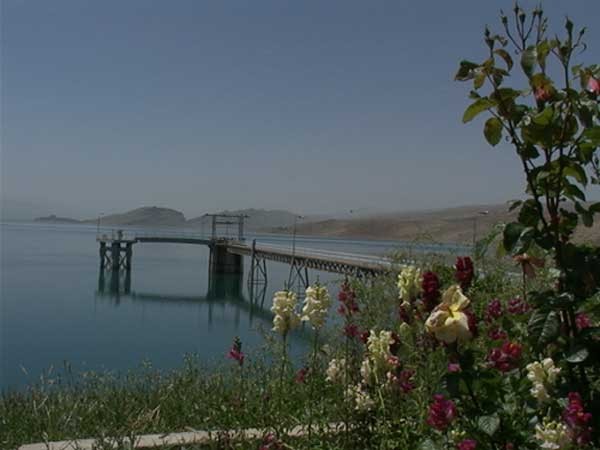
Doroodzan dam

The multipurpose earthfill Doroodzan dam is located some 85 km.
1) Irrigation water supply for 110/000 ha.
2) Supplying parts of urban water needs for the cities of Marvdasht / zaghan and
3) Supplying industrial water needs of the nearby factories.
4) Flood controle of Kor river.
5) Energy generation.
Technical Data:
Dam :
Type……Homogeneous embankment with riprap protection.
Height ……………………………………………………. 57 m.
Crest length ………………………………………….. …710 m.
Crest width …………………………………………….… 10 m.
Crest elevation ………………………………….….…..1683. 5.
Max width at base ………………………………………. 375m.
Fill volume ……………………………………….…..4.8 MCM.
Foundation …………………………………. … limestone rock.
Reservoir:
Volume ……………………………………………... 993 MCM.
Surface at normal water level……………………….. 55 Km^2.
Dead storage ………………………………………….133 MCM
Hydrology:
Catchment area ………………………………… 4372 km^2.
Mean annual river flow from the reservoir …..…1192MCM.
Mean annual evaporation from the reservoir….…. 64 MCM.
Mean annual precipitation …………………………… 485mm.
Spillway:
Type ………………………………ojee spillway
Crest elevation……………………………1676.5
Crest length …………………………….. 150 m
Design flood …………………………. 3000 cms
Power house :
Two 5.5 Mw Francis turbines were installed in 1990 .
Energy generation is dependent on irrigation water needs.
History:
Seepage control:
compact clay blanket
chimney drain in embankment
Rlife well in foundation
Horizontal drain
Cutoff wall in foundation
Instrumentation:
The dam was originally equipped with 29 hydraulic pyrometers and 9 standpipe pyrometers, where most of them damaged. Later on ,14 more standpipe pyrometers were installed.
Microgeodesy:
To control the behavior of the dam, microgeodesy surveying is being performed continuously.
Sediment surveying:
The last sediment surveying of the reservoir which was performed in 2004 , showed that 33 MCM sediment is settled in the reservoir.


