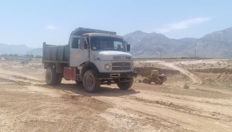

Tangab-Firuz Abad storage Dam
a) Location of Dam :
This Dam with capacity of 140MCM is located at the entrance of Tangab Gorge in North-West of Firuz Abad city, having 12 Kilometer distance from Firuz Abad. This dam is storing the water inflowing from
The main base flow of this river is inflowing from Hanifaqan Springs with discharge of between 2.5 to 5m3/sec
These springs having variable discharge and 23out flow points. in the time of important precipitation, various amount of floods inflowing from: Shurab plane,
This river crosses Helalu Gorge, which is located at 5 Km from Dam-Site. This long river, after flowing in large Tangab Gorge with length of about 7Km, enters to Firuz Abad plane and after crossing this plane changes direction toward South east. After traversing the South of Firuz Abad plane, this river arrive to another gorge having the name of Hayqer Gorge which has approx. length of 12 Km in that Gorge. Finally Firuz Abad river passes several salt domes to become completely saline water, then inflowing to Persian Gulf through
b) Location of Firuz Abad plane and Irrigation Network:
Tangab storage Dam could regulate an average annual discharge of about
103 MCM. Per year.
Firuz Abad plane with area of 27,500 ha is located between 28°- 45' to 29°-33' Northing and 52°-12' to 52°45' Easting. Average altitude of plane is 1250 m above mean sea level. Irrigation Network having total gross area of 13,860 ha or net area of arable land is about 13,350 ha.
Background and aims of Project:
1) Background study of project is as following :
Contract award of phase I study was effected on 16 March 1991 by Fars Regional
Water Authority to Ab-Niru Consultant Engineering Company.
Before that time the pre-Reconnaissance study was made in the Frame of General
(Master) plan of Monde-sheshpir project implemented by Justin and Country Consultant, with limited data of river discharge in dry period, which could not reach to the present aims.
After approval of phase I study in 1994 by Technical Bureau of Ministry of Energy, phase II study was awarded to Ab-Niru Consultant.
In 1995 a general review of water planning for irrigation Network due to Ground water currently used has been effected. Finally in 1997 all Design Reports of this important Dam were submitted to the client.
As far as, the construction of this dam required a displacement of
2) Qualitative and Quantitative project Goals:
a) Collecting and regulating variable river inflow to regulate annually 103 MCM / year.
3) improving the irrigation of arable lands :
In left Bank of river about 3600 ha and in right bank about 4400ha. yielding to about 8,000 ha irrigated from wells with water demand of 89. MCM / year.
4) developing irrigation Network for left bank, about 8,360 ha and to, some how,
regulate irrigation in right bank with springs and wells and Qanats about 5,500 ha.
Other goals of Tangab Dam could be as following:
a) to control and regulate variable inflow for irrigation especially in dry months when
water demand is high.
b) to control annual floods and to prevent its damage .
c) to increase annual income of farmers with recommended irrigation pattern and use
of recent technology.
d) to increase the number of Jobs for farming and auxiliary industries about 2.5 times
of actual available Jobs.
e) to increase the area of second cultivation per year " with intensity of 137.7 percent"
yielding higher amount of agricultural and orchards products, having in mind the
prevention of farmers immigration to the cities.
f) to improve environment of lake periphery with 1120 ha area, changing in local
climatology by lake evaporation, also developing suitable fisheries for area and to
create recreation areas.
5) companies and organization having some activity in that project :
- Ab-Niru Consultant Engineering Co.( for Design & supervision )
- Soil and Material Laboratory for quality control tests.
- Allhadi institution for crest galleries excavation for in investigation .
- Infra-structures Engineering Construction Co. for diversion Tunnel .
- Ave-Yol construction
- Aban- Sanat Kara for Hydro- Mechanical Works .
- Development and Road construction
- Payab Kossar Construction Co. for 3 Tunnels, of road Construction..
-
- some other organization and companies, for various auxiliary works.
6) Technical specification of Project :
a) Generals
- Catchments area to dam-site : 1365 Km2
- average height of basin : 1872 m
- highest point of mountains : 3100 m
- river bed elevation at dam site : 1401 m
- Average annual rainfull over Basin : 533 mm
- Average annual evaporation from lake surface : 1940 mm
- probable Max. Precipitation ( PMP) : 896 mm
- peak Flood discharge with 1000 yr return period : 2740 m 3/ sec - peak Flood discharge with 10,0000 yr return period : 3650 m 3/ sec
- P.M.F. Peak discharge : 6370 m 3/ sec
- Sediment Copulation for 50 years : 22,55 MCM
5-2) Dam Data :
a) Dam body
- dam height from river bed = 52 m
- dam height from foundation = 56 m
- Normal water level = 1447 m
- Max. water level = 1451.75 m
- Crest elevation = 1452.5 m
- Min water level ( intake level ) = 1420 m
- dead storage = 6 MCM
- Life storage = 134 MCM
- Reservoir Capacity = 140 MCM
- Alluvium max. thickness = 36 m
- Crest length = 270 m
- Crest width = 10 m
- lake area at NWL = 1120 ha
- lake area at Max W.L = 1450 ha
-
- U/S Slope above large berm = 1.V : 2.4 H
- D/S slope above large berm = 1.V: 2.0 H
- U/S berm elevation & width = 1420 m & 35 m
- D/S berm elevation & width = 1415 & 40 m
- Dam volume = 1,508,500 m3
- Clay core volume. = 204,000 m3
- Rock fill vol. = 680,000 m3
- GW- GC vol. & transition = 505,000 m3
- Filters = 99.700 m3
- Exaction of dam foundation = 157,000 m3
- Rock exaction of abutments =130,000 m3
b ) Diversion Tunnel and water intake
- Tunnel, Internal dia. = 9.5 m3
- Length = 330 m
- All excavation = 73,000 m3
- Concrete vol. ( Reinforced ) = 18,700 m3
- reinforcement = 3,250 tons
- Diversion flood capacity = 870 m 3/ sec
- Water intake level = 1420 m
Pipe dia. f 1600 mm in Diver. Tunnel.
c) spillway ( side spillway )
- excavation in rock = 526,000 m3
- excavation in soil = 124,000 m
- Plain & reinforced concrete vol. = 84,000 m3
- ogee crest length = 150 m
- ogee crest elevation = 1447 m
- Spillway Capacity at Max. Level = 4200 m 3/ sec
( about PMF routed )
d ) grouting galleries
- Crest galleries length = 620 m with access gallery.
- Lower gallery & dia. = 740 m ( 3m dia )
- access galleries = 565 m
e) bottom outlet at N.W.L = 60 m 3/ sec
- intake capacity at N.W.L = 15 m 3/ sec
with pipe of f 1400 mm
-Length of Water pipe through Tunnel bed = 370 m 3 / sec
with f 1600 ml. with a branch to the river with discharge of 2-4 m 3/ sec
f) water tightening system :
- Cut off wall = 6,100 m 2
- drilling – grouting of curtain grouting = 60,000 mL
- drilling – grouting around spillway Van. = 13500 mL
Consolidation grouting = 18,000 mL


